Took on peak bagging Quail Mountain today, with fairly easy success. The difficult part, well, not difficult...the
tedious part was just getting to the base of the mountain from where I started. The run to the base of the mountain before starting the ascent was along much of the California Riding and Hiking Trail, at the Juniper Flats Backcountry board.
There comes a point when you have to turn off the trail and just do some cross-country running/hiking through soft sand and scrub-brush. Then you pick your line to the top. There are several different routes you can take, varying from either washes or ridges/saddles pretty much all the way to the peak. A picked a peak to get up to the summit that was on the southeast side (book says it's the easiest route), but apparently I picked the
wrong wash to climb. It wasn't that bad, but after I hit the peak, I could see the much easier wash to take from the top, and that's the way I took down.
All in all, still a great trip, and a chance to bag the highest peak in Joshua Tree National Park. I like that this one doesn't have a direct trail up to the top, simply because it makes it a more solitary trip. I don't think there would have been many other people up there today anyway, as when I started at just before sunrise, the temperature was 41 degrees. It was definitely chilly, and not something I was all that prepared for; some gloves would have been nice!
Here's the stats on Quail Mountain as per my Garmin 60CSx GPS:
Peak: 5794' (5813' by the book)
Total Ascent: 1626'
Total Descent: 1582'
Distance RT: 13.02 mi
Time of Ascent: 1hr42min
Time of Descent: 1hr18min
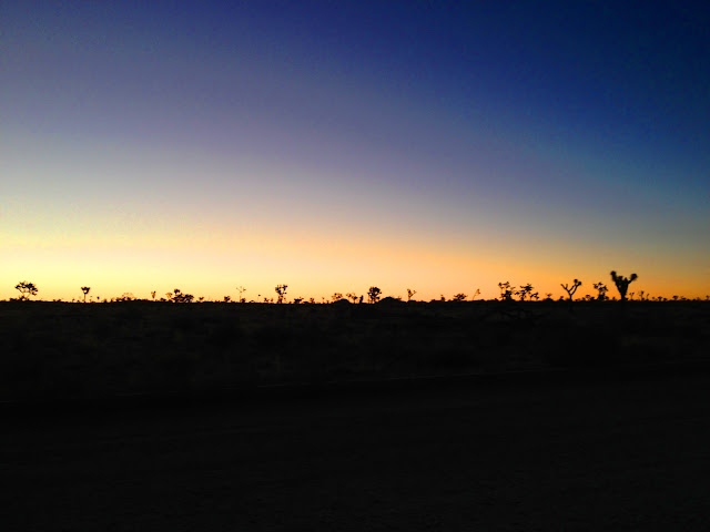 |
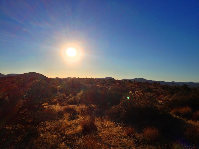
| Sunrise in Joshua Tree National Park |
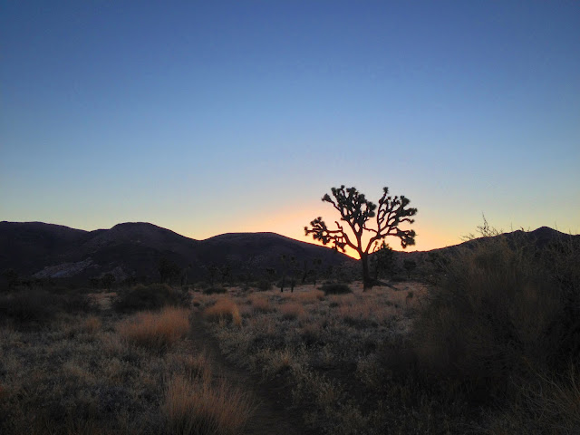 |
| Sunrise Near Juniper Flats |
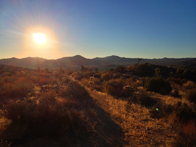 |
| California Riding and Hiking Trail - Juniper Flats |
 |
| California Riding and Hiking Trail - Juniper Flats |
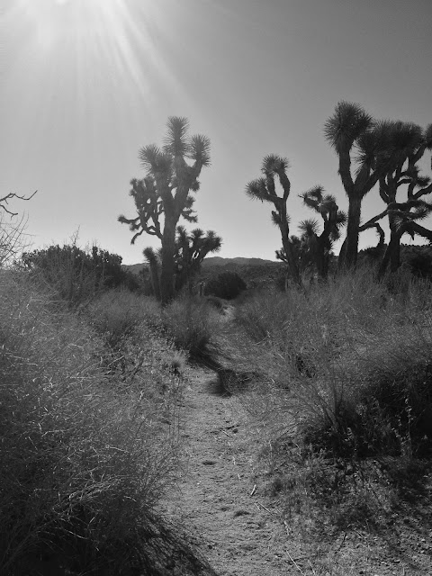 |
| California Riding and Hiking Trail |
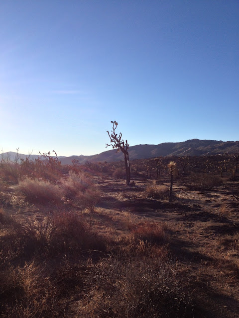 |
| Fire burned area from earlier in the year starting to get some life back. |
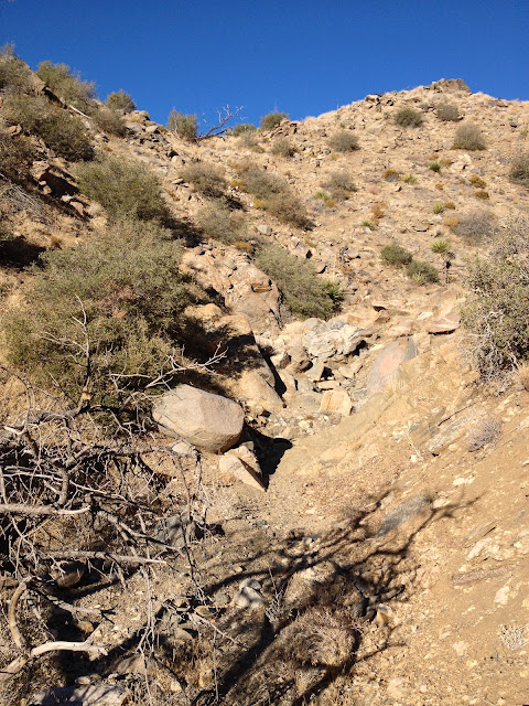 |
| Climbing the wash to the summit. |
 |
| Lots of Obstacles in the wash |
 |
| Rock Cairn at Summit of Quail Mountain |
 |
| Corps of Engineers Survey plate, and can with Summit Register. |
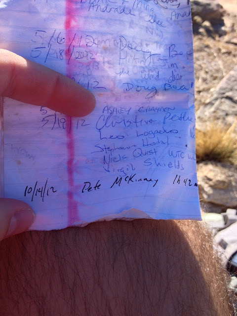 |
| Signing Summit Register w/time. First one to sign register since May, probably due to the fact that area was just reopened about a week ago to allow the the fire area to restore. |
 |
| Summit facing west with Mt San Jacinto in the distance |
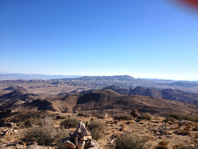 |
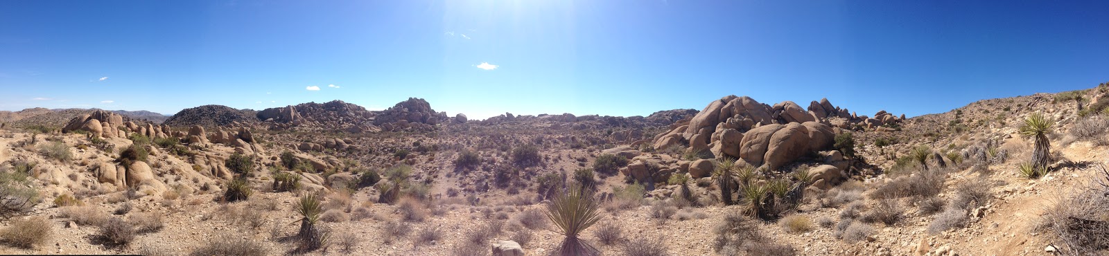
| Summit facing NNE towards "Wonderland of Rocks" |
I'll tag this peak again, but maybe next time I'll come from the North to change it up. All I had with me for cold weather gear was a wind breaker, and next time I think I'll pack a beanie and some gloves as well, because it was chilly up top!
Another great trek overall, and I highly recommend it to anyone. Great way to spend between 3-4 hrs of your morning (less if you're faster!).
In the meantime....Keep Running!